BIM and CAD
Design and Engineering
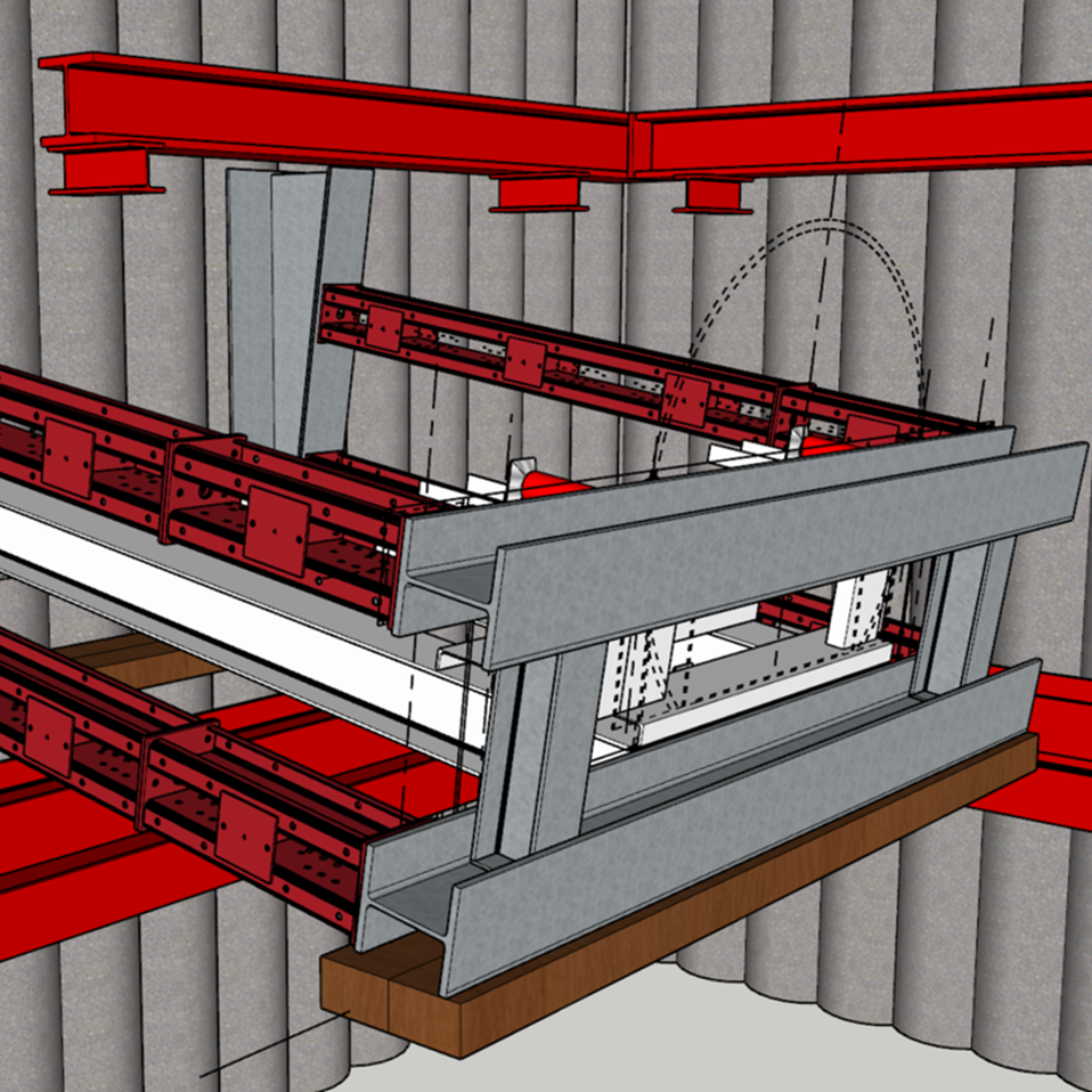
We provide a digitally enabled design and engineering capability, placing CAD and BIM at the centre of how we plan, coordinate and deliver complex projects. Since 2008, we have adopted a tailored design approach that embraces the digital era, enabling us to support technically demanding schemes while remaining aligned with the JGL mission to understand and respond to the challenges faced by communities and the environment. Our design activities are delivered in accordance with ISO 19650 and ISO 1192, and we are fully BIM Level 1 and Level 2 compliant.
We make extensive use of leading-edge software and analysis tools to support geotechnical, structural and underground design, including Slide, Wallap, GSA, X-Disp, D-Geo Pipeline and TEDDS. These packages enable robust assessment of ground behaviour, structural response and temporary works performance, providing confidence in design assumptions and constructability.
Our design team is equally proficient in AutoCAD (2D and 3D), Cloud Construction and MicroStation, alongside Revit for coordinated BIM modelling. We work seamlessly within ProjectWise and Aconex environments, supporting effective data management, collaboration and interface control on major infrastructure projects. Advanced 3D visualisation tools are also used to enhance design development, stakeholder engagement and construction planning.
To maintain our position at the forefront of digital engineering, we invest in regular training and professional development, ensuring our teams remain proficient in the latest software, workflows and industry best practice. This commitment allows us to deliver high-quality, coordinated and construction-ready designs that improve safety, efficiency and sustainability across the full range of civil, tunnelling and infrastructure works.